



Typhoon No. 6 “Jangmi” Approaches Japan: Heavy Rain + Potential Disruptions to Flights and Trains



Latest update on Typhoon Jangmi (Typhoon No. 6): As it approaches Japan on June 2, the storm is bringing heavy rain and strong winds, with the potential disruptions to flights, shinkansen services, and travel across multiple regions.
CONTENTS
Typhoon Jangmi Update: The Typhoon Has Arrived in Japan
As of the morning of June 2nd, Typhoon Jangmi (referred to as Typhoon No. 6 in Japan) has begun to affect southern Japan during its journey northeast, moving close to the Amami Islands after passing through the Okinawa area. Wind gusts exceeding 40 meters per second have been reported in various locations.
The Japan Meteorological Agency (JMA) has warned that the typhoon will move northward before gradually turning east. That means that many areas in western Japan and along the Pacific coast face, including several major cities, face the risk of heavy rainfall, strong winds, high waves, and possible disruptions to air travel and railway services. Experts believe this weather should continue through June 2nd, peaking on June 3rd before the typhoon dissipates.
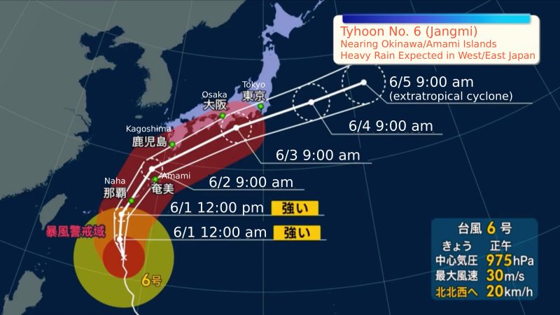
Projected Path of Typhoon Jangmi
Original image source: NTV. English translation by Japankuru.
- May 27–29: Typhoon Jangmi began developing over the Philippine Sea.
- June 1: The storm made its closest approach to Okinawa.
- June 2 (Morning): The typhoon moved northward into the Amami area, with maximum wind gusts recorded at 32 m/s.
- June 2 (Afternoon): The typhoon is expected to gradually turn northeast, tracking along Kyushu’s Pacific coastline. There is a risk of a linear rainband (線状降水帯) bringing heavy rain and floods to the Kyushu region.
- June 3: The storm is forecast to move across the Pacific coast of western and eastern Japan, bringing heavy rain, strong winds, and possible disruptions to flights, trains, and Shinkansen services.
- June 4: The typhoon is expected to move east of the Kanto region and begin weakening.
- June 5: The JMA forecasts that the typhoon will transition into an extratropical cyclone off Japan’s eastern coast.
Traveling in Japan? These Are the Regions to Watch Out For
- Ryukyu Islands (Okinawa and Amami Islands): On June 2, severe winds, high waves, coastal surf, landslides, flooding in low-lying areas, rising river levels, and possible river overflow are expected.
- Western Japan (Kyushu, Shikoku, Kansai, including Fukuoka and Osaka): Between June 2~3, the forecast calls for very strong winds, high waves, heavy rain, flash flooding, and landslides.
- Pacific Coast of Eastern Japan (Tokyo, Kanagawa, Shizuoka, including Yokohama and Izu): On June 3, adverse weather conditions and heavy rainfall may affect transportation and travel.
Important Information for Travelers in Tokyo
Although Tokyo is located some distance from the center of the typhoon, heavy rain and strong winds are still possible throughout the Kanto region. The typhoon’s main rain cloud bands are spread across the northern and eastern sides of the storm, rather than being concentrated solely around its center.
For those currently in Tokyo, the latest forecast indicates that the strongest impacts are likely to be felt on June 3rd. If you’re in the area, watch out for heavy rain, strong winds, and possible disruptions to train and air travel, and most of all—stay safe. We recommend closely monitoring announcements from the Japanese Meteorological Agency, and if you’re planning to take any kind of transportation (whether June 3rd is your departure date, or you just planned to catch a train across the city), check the official websites/social media of the operators in case service is canceled. If you need to, check with your airline before departure, and verify that trains are up and running before you head out in the rain!
For more info and updates from Japan, check Japankuru for new articles, and don’t forget to follow us on X (Twitter), Instagram, and Facebook!

The latest news from Japan - learn what's new in the land of the rising sun, from an international group right on the scene.
COMMENT
FEATURED MEDIA
VIEW MORE
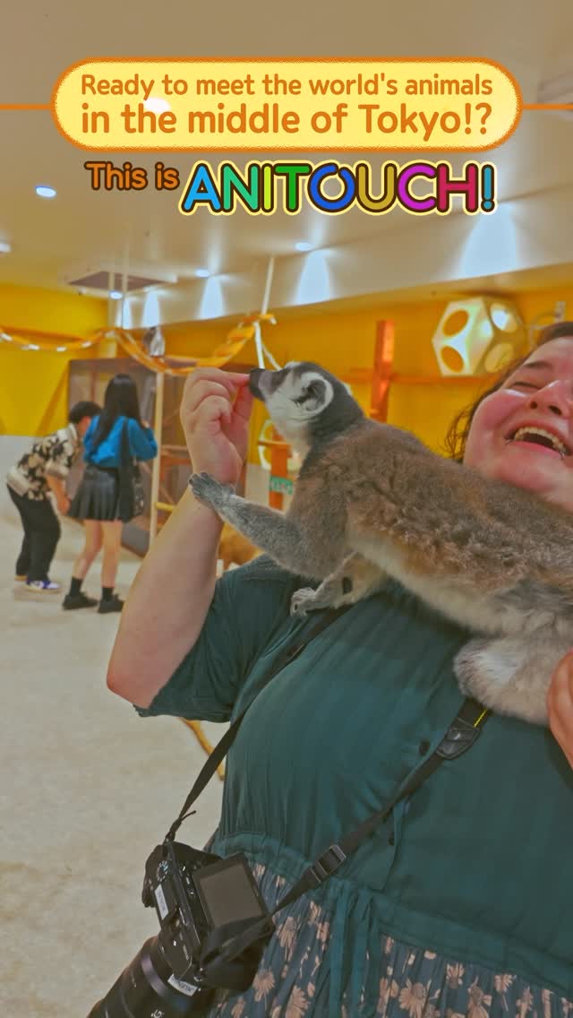
A New Tokyo Animal Destination: Relax & Learn About the World’s Animals in Japan
#pr #japankuru #anitouch #anitouchtokyodome #capybara #capybaracafe #animalcafe #tokyotrip #japantrip #카피바라 #애니터치 #아이와가볼만한곳 #도쿄여행 #가족여행 #東京旅遊 #東京親子景點 #日本動物互動體驗 #水豚泡澡 #東京巨蛋城 #เที่ยวญี่ปุ่น2025 #ที่เที่ยวครอบครัว #สวนสัตว์ในร่ม #TokyoDomeCity #anitouchtokyodome

Shohei Ohtani Collab Developed Products & Other Japanese Drugstore Recommendations From Kowa
#pr #japankuru
#kowa #syncronkowa #japanshopping #preworkout #postworkout #tokyoshopping #japantrip #일본쇼핑 #일본이온음료 #오타니 #오타니쇼헤이 #코와 #興和 #日本必買 #日本旅遊 #運動補充能量 #運動飲品 #ช้อปปิ้งญี่ปุ่น #เครื่องดื่มออกกำลังกาย #นักกีฬา #ผลิตภัณฑ์ญี่ปุ่น #อาหารเสริมญี่ปุ่น

도쿄 근교 당일치기 여행 추천! 작은 에도라 불리는 ‘가와고에’
세이부 ‘가와고에 패스(디지털)’ 하나면 편리하게 이동 + 가성비까지 완벽하게! 필름카메라 감성 가득한 레트로 거리 길거리 먹방부터 귀여움 끝판왕 핫플&포토 스폿까지 총집합!
Looking for day trips from Tokyo? Try Kawagoe, AKA Little Edo!
Use the SEIBU KAWAGOE PASS (Digital) for easy, affordable transportation!
Check out the historic streets of Kawagoe for some great street food and plenty of picturesque retro photo ops.
#pr #japankuru #도쿄근교여행 #가와고에 #가와고에패스 #세이부패스 #기모노체험 #가와고에여행 #도쿄여행코스 #도쿄근교당일치기 #세이부가와고에패스
#tokyotrip #kawagoe #tokyodaytrip #seibukawagoepass #kimono #japantrip

Hirakata Park, Osaka: Enjoy the Classic Japanese Theme Park Experience!
#pr #japankuru #hirakatapark #amusementpark #japantrip #osakatrip #familytrip #rollercoaster #retrôvibes #枚方公園 #大阪旅遊 #關西私房景點 #日本親子旅行 #日本遊樂園 #木造雲霄飛車 #히라카타파크 #สวนสนุกฮิราคาตะพาร์ค
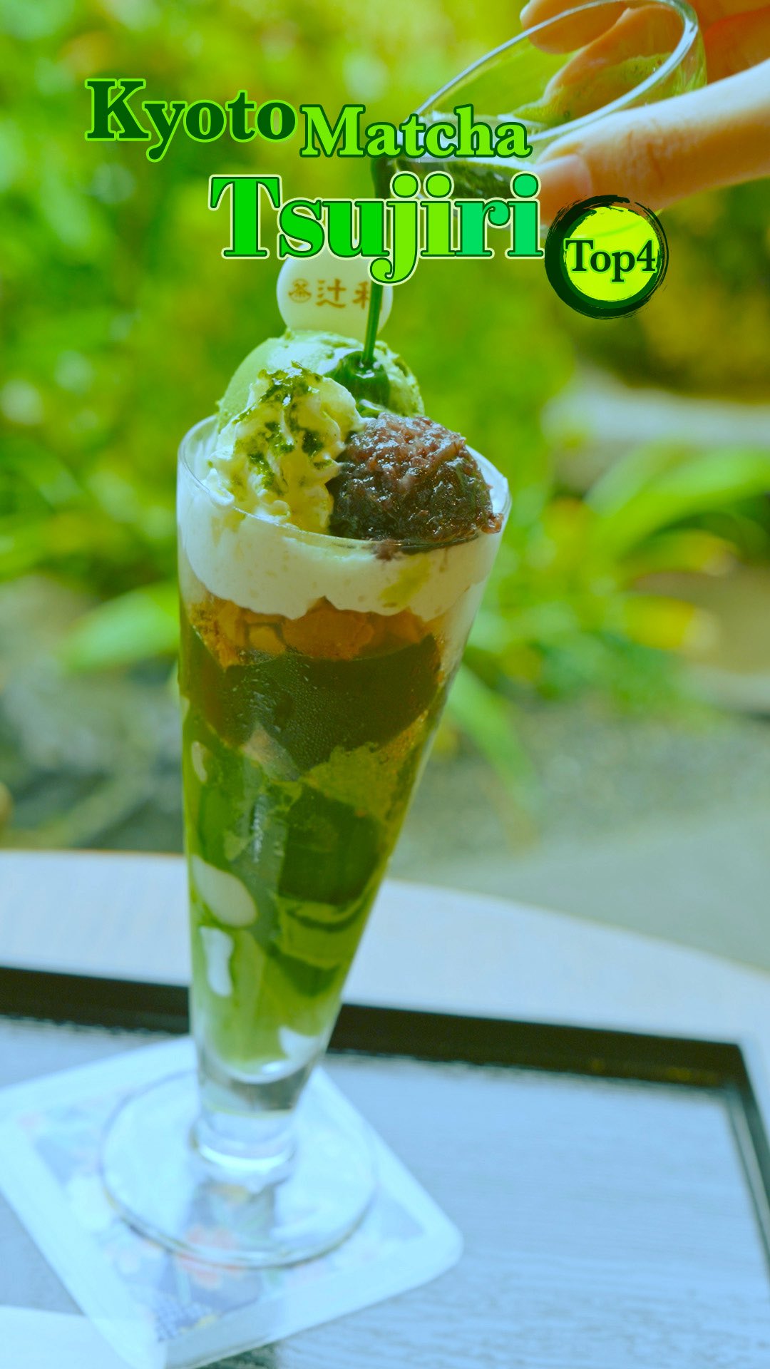
🍵Love Matcha? Upgrade Your Matcha Experience With Tsujiri!
・160년 전통 일본 말차 브랜드 츠지리에서 말차 덕후들이 픽한 인기템만 골라봤어요
・抹茶控的天堂!甜點、餅乾、飲品一次滿足,連伴手禮都幫你列好清單了
・ส่องมัทฉะสุดฮิต พร้อมพาเที่ยวร้านดังในอุจิ เกียวโต
#pr #japankuru #matcha #matchalover #uji #kyoto #japantrip #ujimatcha #matchalatte #matchasweets #tsujiri #말차 #말차덕후 #츠지리 #교토여행 #말차라떼 #辻利抹茶 #抹茶控 #日本抹茶 #宇治 #宇治抹茶 #日本伴手禮 #抹茶拿鐵 #抹茶甜點 #มัทฉะ #ของฝากญี่ปุ่น #ชาเขียวญี่ปุ่น #ซึจิริ #เกียวโต

・What Is Nenaito? And How Does This Sleep Care Supplement Work?
・你的睡眠保健品——認識「睡眠茶氨酸錠」
・수면 케어 서플리먼트 ‘네나이토’란?
・ผลิตภัณฑ์เสริมอาหารดูแลการนอน “Nenaito(ネナイト)” คืออะไร?
#pr #japankuru #sleepcare #japanshopping #nenaito #sleepsupplement #asahi #睡眠茶氨酸錠 #睡眠保健 #朝日 #l茶胺酸 #日本藥妝 #日本必買 #일본쇼핑 #수면 #건강하자 #네나이토 #일본영양제 #อาหารเสริมญี่ปุ่น #ช้อปปิ้งญี่ปุ่น #ร้านขายยาญี่ปุ่น #ดูแลตัวเองก่อนนอน #อาซาฮิ
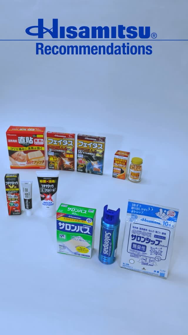
Japanese Drugstore Must-Buys! Essential Items from Hisamitsu® Pharmaceutical
#PR #japankuru #hisamitsu #salonpas #feitas #hisamitsupharmaceutical #japanshopping #tokyoshopping #traveltips #japanhaul #japantrip #japantravel
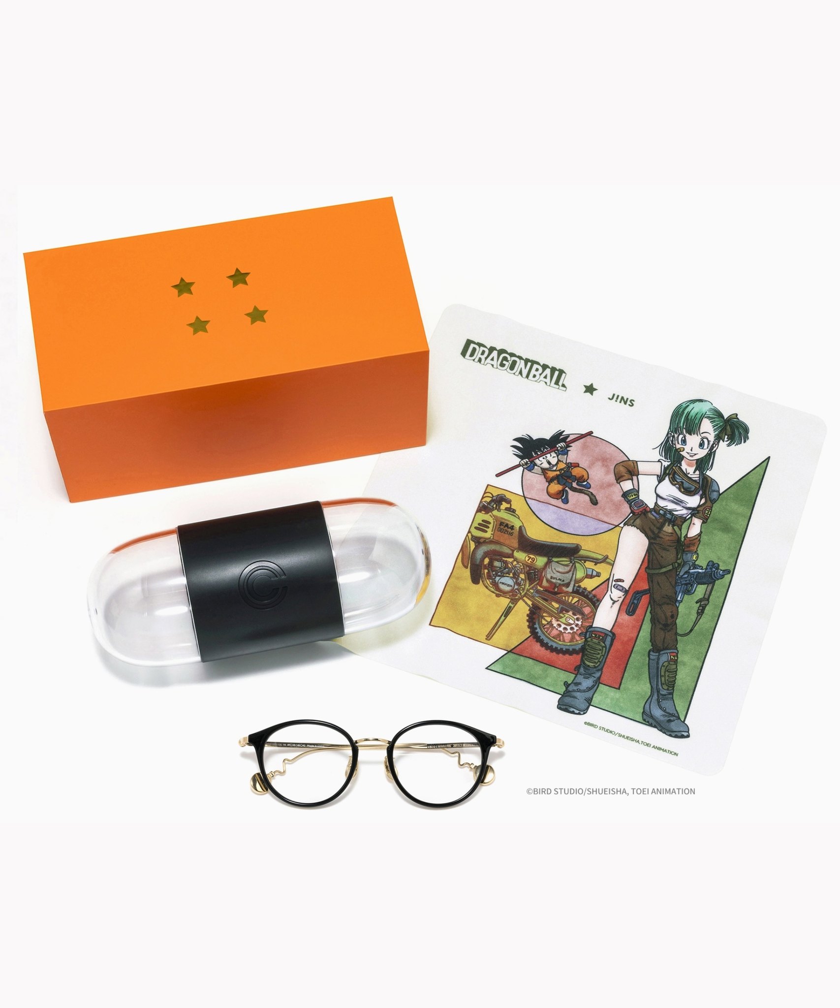
Whether you grew up with Dragon Ball or you just fell in love with Dragon Ball DAIMA, you'll like the newest JINS collab. Shop this limited-edition Dragon Ball accessory collection to find some of the best Dragon Ball merchandise in Japan!
>> Find out more at Japankuru.com! (link in bio)
#japankuru #dragonball #dragonballdaima #animecollab #japanshopping #jins #japaneseglasses #japantravel #animemerch #pr
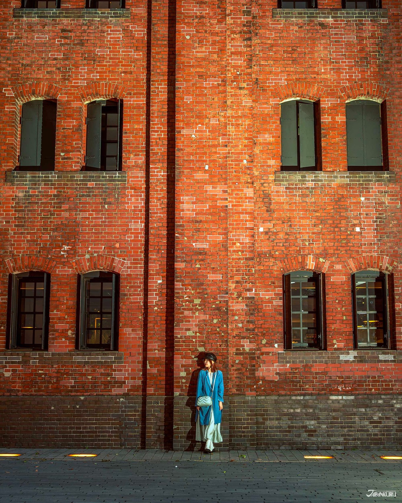
This month, Japankuru teamed up with @official_korekoko to invite three influencers (originally from Thailand, China, and Taiwan) on a trip to Yokohama. Check out the article (in Chinese) on Japankuru.com for all of their travel tips and photography hints - and look forward to more cool collaborations coming soon!
【橫濱夜散策 x 教你怎麼拍出網美照 📸✨】
每次來日本玩,是不是都會先找旅日網紅的推薦清單?
這次,我們邀請擁有日本豐富旅遊經驗的🇹🇭泰國、🇨🇳中國、🇹🇼台灣網紅,帶你走進夜晚的橫濱!從玩樂路線到拍照技巧,教你怎麼拍出最美的夜景照。那些熟悉的景點,換個視角說不定會有新發現~快跟他們一起出發吧!
#japankuru #橫濱紅磚倉庫 #汽車道 #中華街 #yokohama #japankuru #橫濱紅磚倉庫 #汽車道 #中華街 #yokohama #yokohamaredbrickwarehouse #yokohamachinatown

If you’re a fan of Vivienne Westwood's Japanese designs, and you’re looking forward to shopping in Harajuku this summer, we’ve got important news for you. Vivienne Westwood RED LABEL Laforet Harajuku is now closed for renovations - but the grand reopening is scheduled for July!
>> Find out more at Japankuru.com! (link in bio)
#japankuru #viviennewestwood #harajuku #omotesando #viviennewestwoodredlabel #viviennewestwoodjapan #비비안웨스트우드 #오모테산도 #하라주쿠 #日本購物 #薇薇安魏斯伍德 #日本時尚 #原宿 #表參道 #japantrip #japanshopping #pr
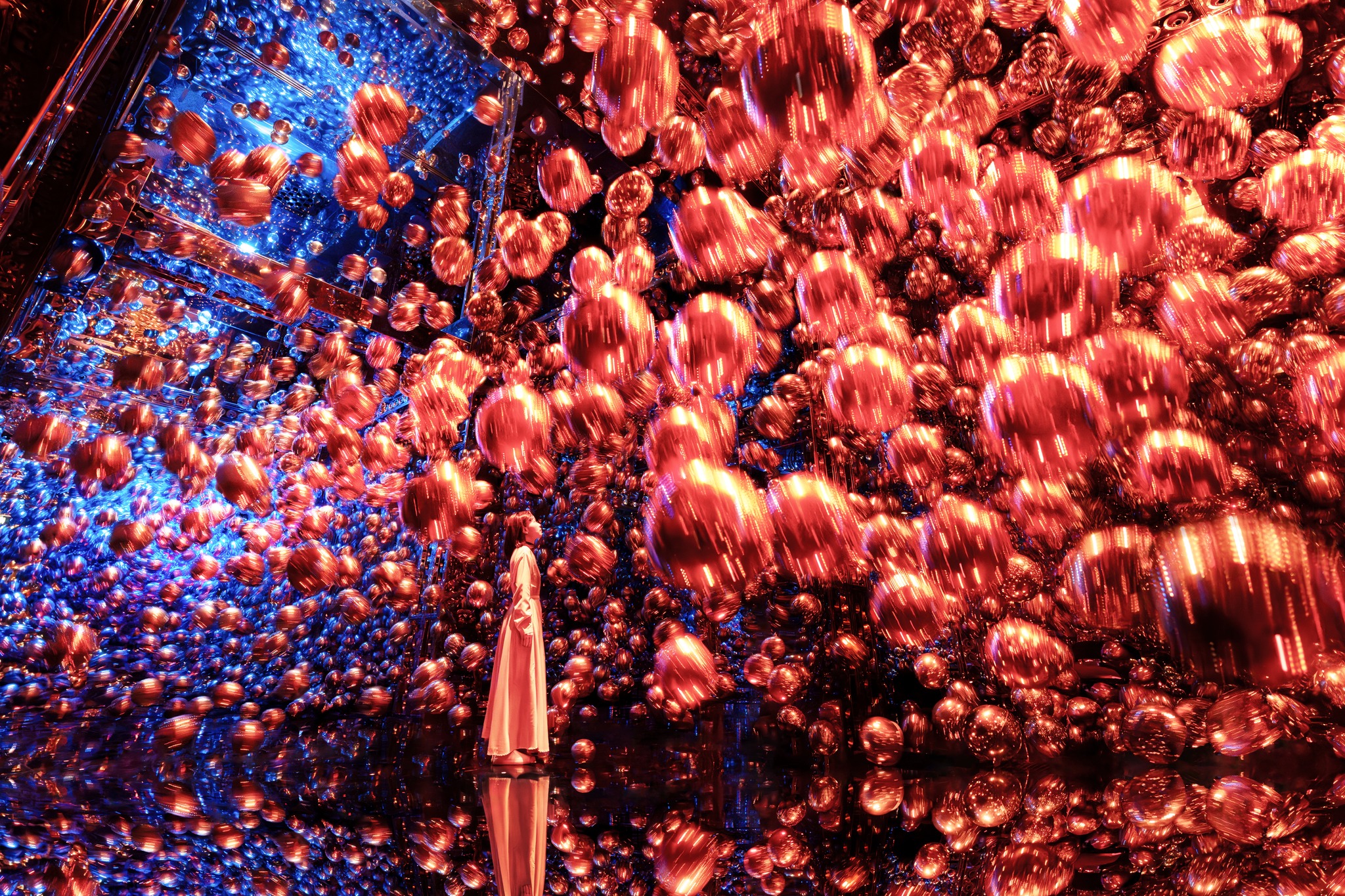
Ready to see TeamLab in Kyoto!? At TeamLab Biovortex Kyoto, the collective is taking their acclaimed immersive art and bringing it to Japan's ancient capital. We can't wait to see it for ourselves this autumn!
>> Find out more at Japankuru.com! (link in bio)
#japankuru #teamlab #teamlabbiovortex #kyoto #kyototrip #japantravel #artnews
Photos courtesy of teamLab, Exhibition view of teamLab Biovortex Kyoto, 2025, Kyoto ® teamLab, courtesy Pace Gallery
MAP OF JAPAN
SEARCH BY REGION

-
-
HOKKAIDO
VIEW MORE
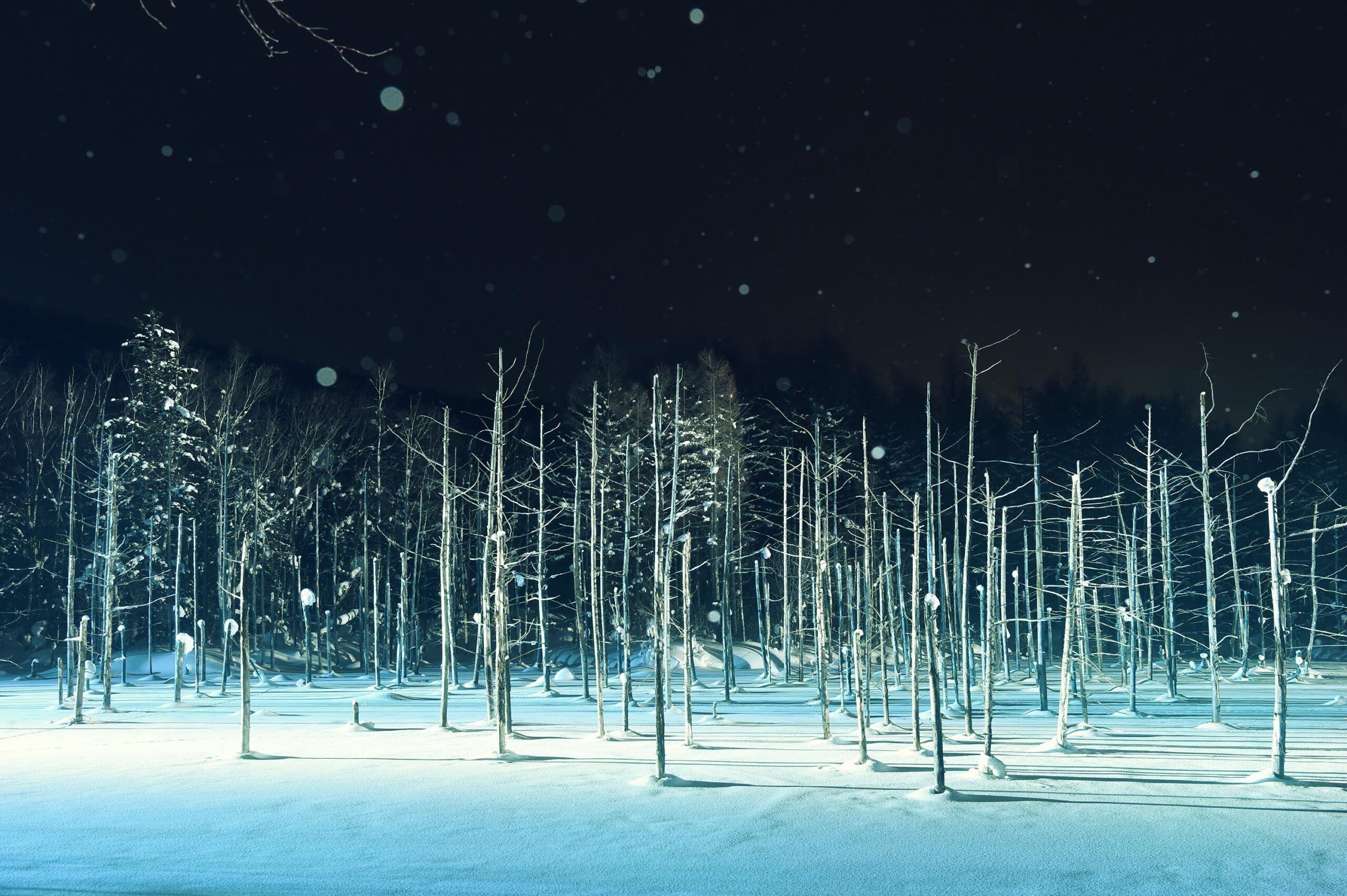
Hokkaido (北海道) is the northernmost of the four main islands that make up Japan. The area is famous for Sapporo Beer, plus brewing and distilling in general, along with fantastic snow festivals and breathtaking national parks. Foodies should look for Hokkaido's famous potatoes, cantaloupe, dairy products, soup curry, and miso ramen!
-
NIKI
VIEW MORE
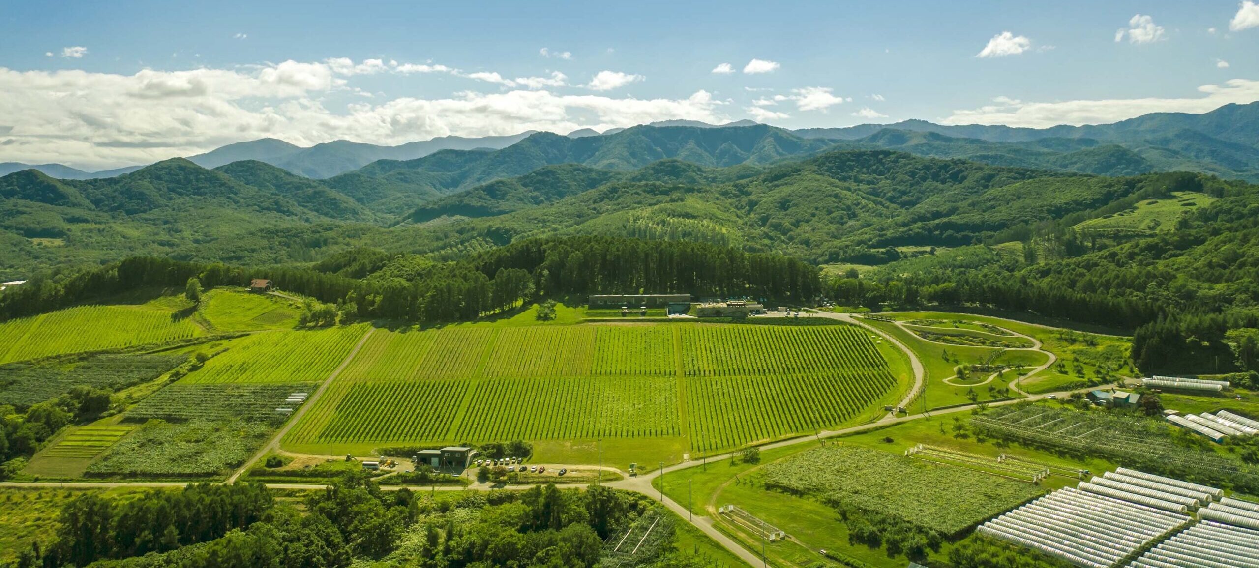
Niki, in south-west Hokkaido, is about 30 minutes from Otaru. The small town is rich with natural resources, fresh water, and clean air, making it a thriving center for fruit farms. Cherries, tomatoes, and grapes are all cultivated in the area, and thanks to a growing local wine industry, it's quickly becoming a food and wine hotspot. Together with the neighboring town of Yoichi, it's a noted area for wine tourism.
-
NISEKO
VIEW MORE
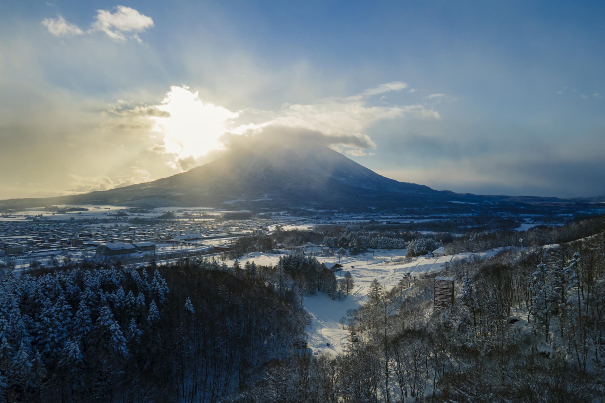
Niseko is about two hours from New Chitose Airport, in the western part of Hokkaido. It's one of Japan's most noted winter resort areas, and a frequent destination for international visitors. That's all because of the super high-quality powder snow, which wins the hearts of beginners and experts alike, bringing them back for repeat visits. That's not all, though, it's also a great place to enjoy Hokkaido's culinary scene and some beautiful onsen (hot springs).
-
OTARU
VIEW MORE
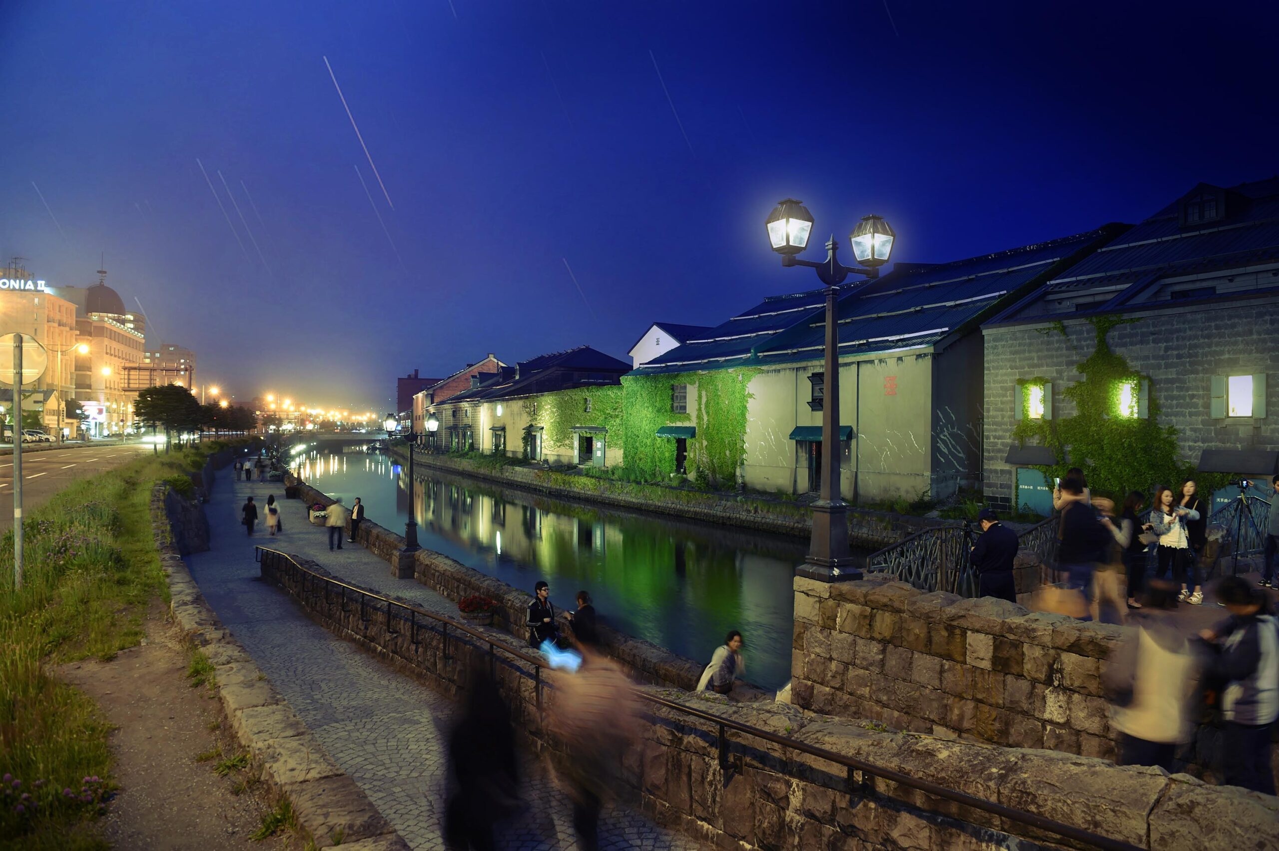
Otaru is in western Hokkaido, about 30 minutes from Sapporo Station. The city thrived around its busy harbor in the 19th and 20th centuries thanks to active trade and fishing, and the buildings remaining from that period are still popular attractions, centered around Otaru Canal. With its history as a center of fishing, it's no surprise that the area's fresh sushi is a must-try. Otaru has over 100 sushi shops, quite a few of which are lined up on Sushiya Dori (Sushi Street).
-
SAPPORO
VIEW MORE
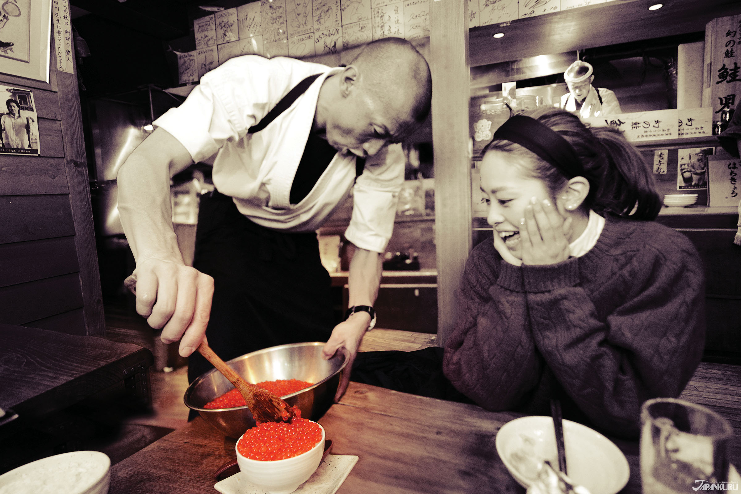
Sapporo, in the south-western part of Hokkaido, is the prefecture's political and economic capital. The local New Chitose Airport see arrivals from major cities like Tokyo and Osaka, alongside international flights. Every February, the Sapporo Snow Festival is held in Odori Park―one of the biggest events in Hokkaido. It's also a hotspot for great food, known as a culinary treasure chest, and Sapporo is a destination for ramen, grilled mutton, soup curry, and of course Hokkaido's beloved seafood.
-
-
-
TOHOKU
VIEW MORE
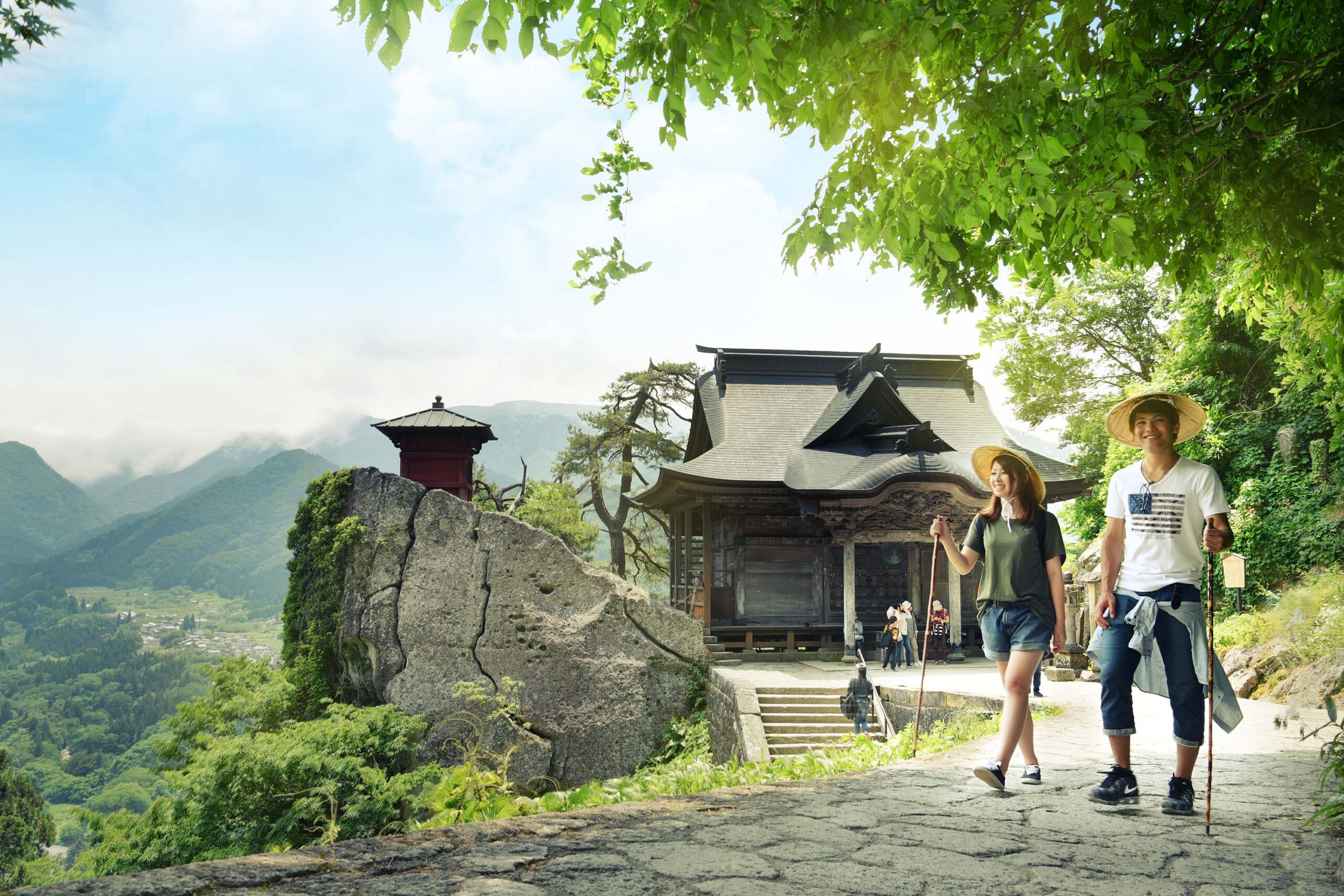
Consisting of six prefectures, the Tohoku Region (東北地方) is up in the northeastern part of Japan's main island. It's the source of plenty of the nation's agriculture (which means great food), and packed with beautiful scenery. Explore the region's stunning mountains, lakes, and hot springs!
-
AKITA
VIEW MORE
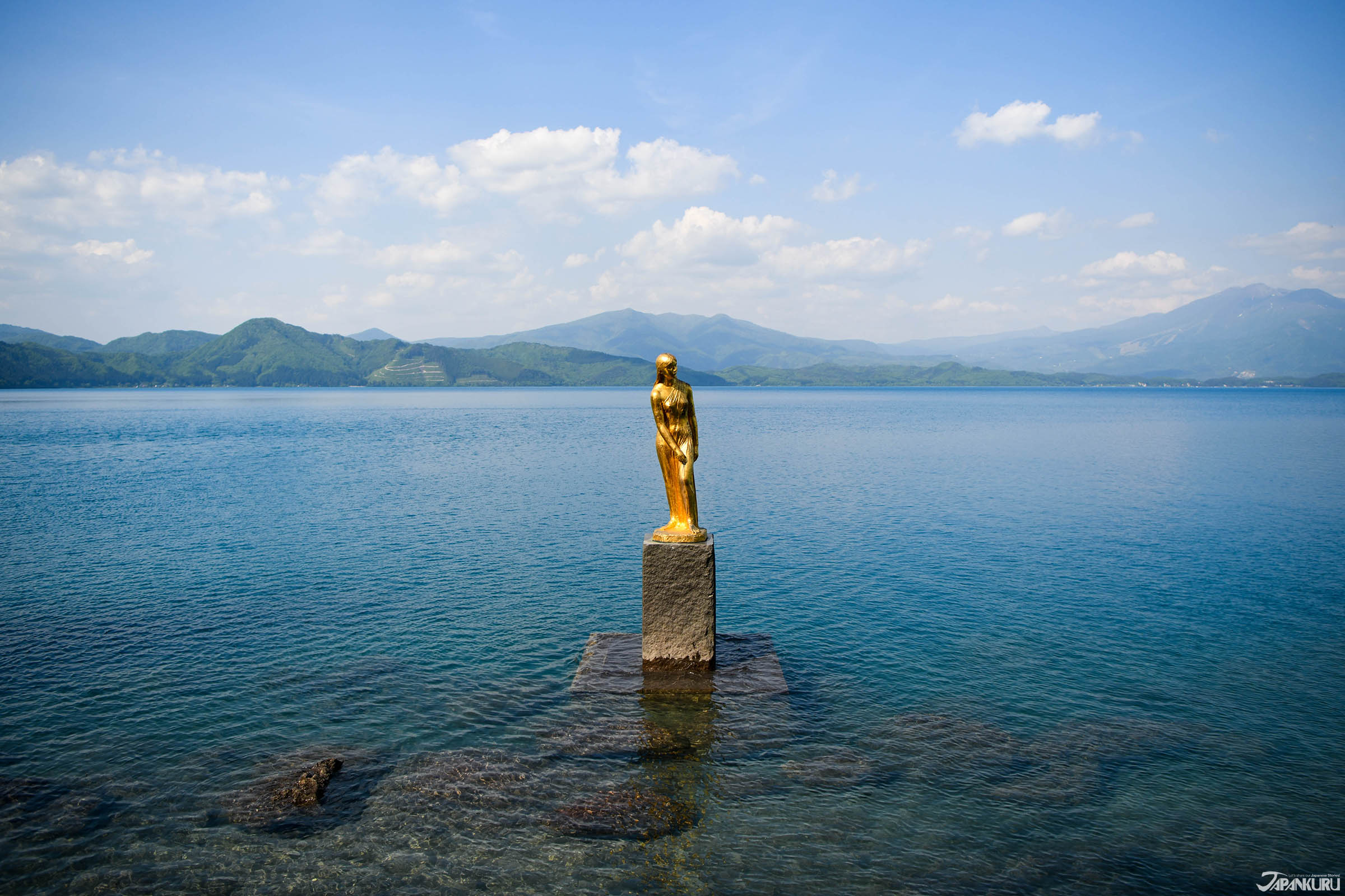
Akita Prefecture is on the Sea of Japan, in the northern reaches of Japan's northern Tohoku region. Akita has more officially registered important intangible culture assets than anywhere else in Japan, and to this day visitors can experience traditional culture throughout the prefecture, from the Oga Peninsula's Namahage (registered with UNESCO as a part of Japan's intangible cultural heritage), to the Tohoku top 3 Kanto Festival. Mysterious little spots like the Oyu Stone Circle Site and Ryu no Atama (Dragon's Head) are also worth a visit!
-
FUKUSHIMA
VIEW MORE
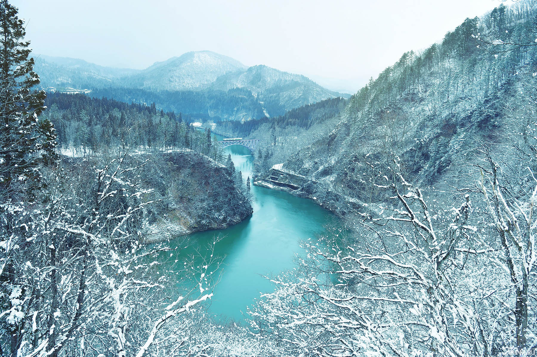
Fukushima Prefecture sits at the southern tip of Japan's northern Tohoku region, and is divided into three parts with their own different charms: the Coastal Area (Hama-dori), the Central Area (Naka-dori), and the Aizu Area. There's Aizu-Wakamatsu with its Edo-era history and medieval castles, Oze National Park, Kitakata ramen, and Bandai Ski Resort (with its famous powder snow). Fukushima is a beautiful place to enjoy the vivid colors and sightseeing of Japan's beloved four seasons.
-
YAMAGATA
VIEW MORE
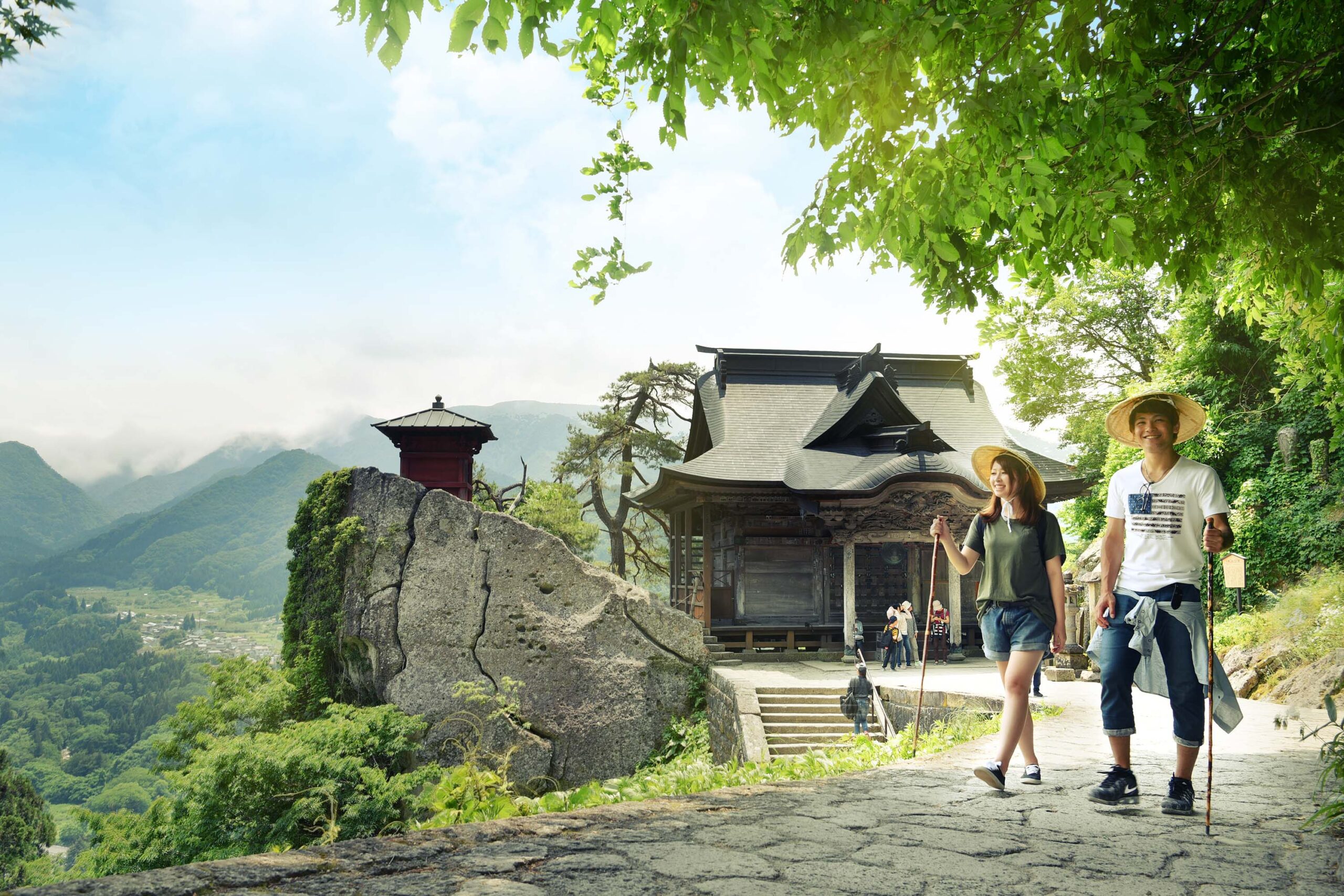
Yamagata Prefecture is up against the Sea of Japan, in the southern part of the Tohoku region, and it's especially popular in winter, when travelers soak in the onsen (hot springs) and ski down snowy slopes. International skiiers are especially fond of Zao Onsen Ski Resort and Gassan Ski Resort, and in recent years visitors have been drawn to the area to see the mystical sight of local frost-covered trees. Some destinations are popular regardless of the season, like Risshakuji Temple, AKA Yamadera, Ginzan Onsen's nostalgic old-fashioned streets, and Zao's Okama Lake, all great for taking pictures. Yamagata is also the place to try Yonezawa beef, one of the top 3 varieties of wagyu beef.
-
-
-
KANTO
VIEW MORE
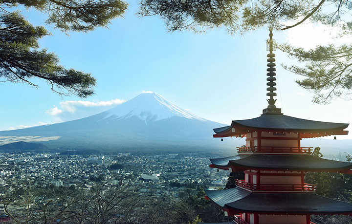
Japan's most densely populated area, the Kanto Region (関東地方) includes 7 prefectures: Gunma, Tochigi, Ibaraki, Saitama, Tokyo, Chiba, and Kanagawa, which means it also contains the Tokyo Metropolitan Area. In modern-day Japan, Kanto is the cultural, political, and economic heartland of the country, and each prefecture offers something a little different from its neighbors.
-
GUNMA
VIEW MORE
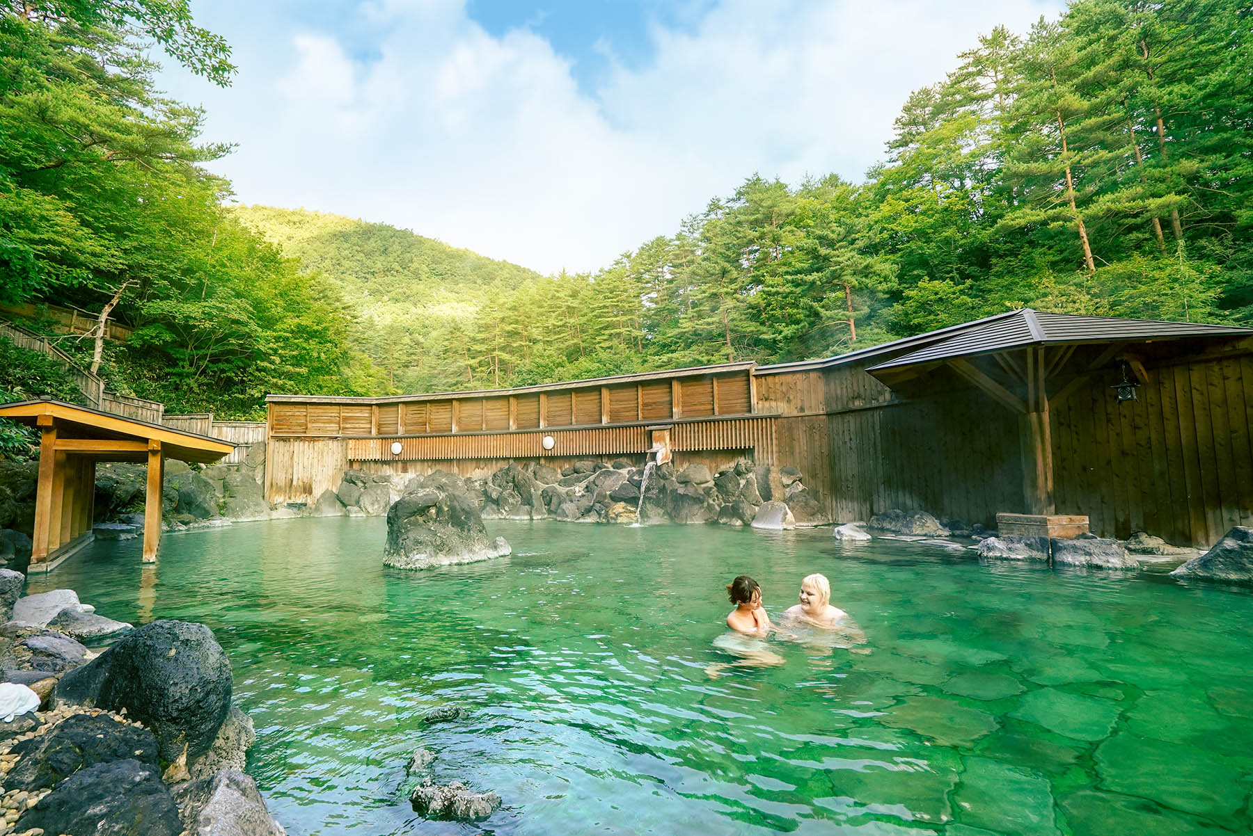
Gunma Prefecture is easily accessible from Tokyo, and in addition to the area's popular natural attractions like Oze Marshland and Fukiware Falls, Gunma also has a number of popular hot springs (Kusatsu, Ikaho, Minakami, Shima)―it's even called an Onsen Kingdom. The prefecture is popular with history buffs and train lovers, thanks to spots like world heritage site Tomioka Silk Mill, the historic Megane-bashi Bridge, and the Watarase Keikoku Sightseeing Railway.
-
TOCHIGI
VIEW MORE
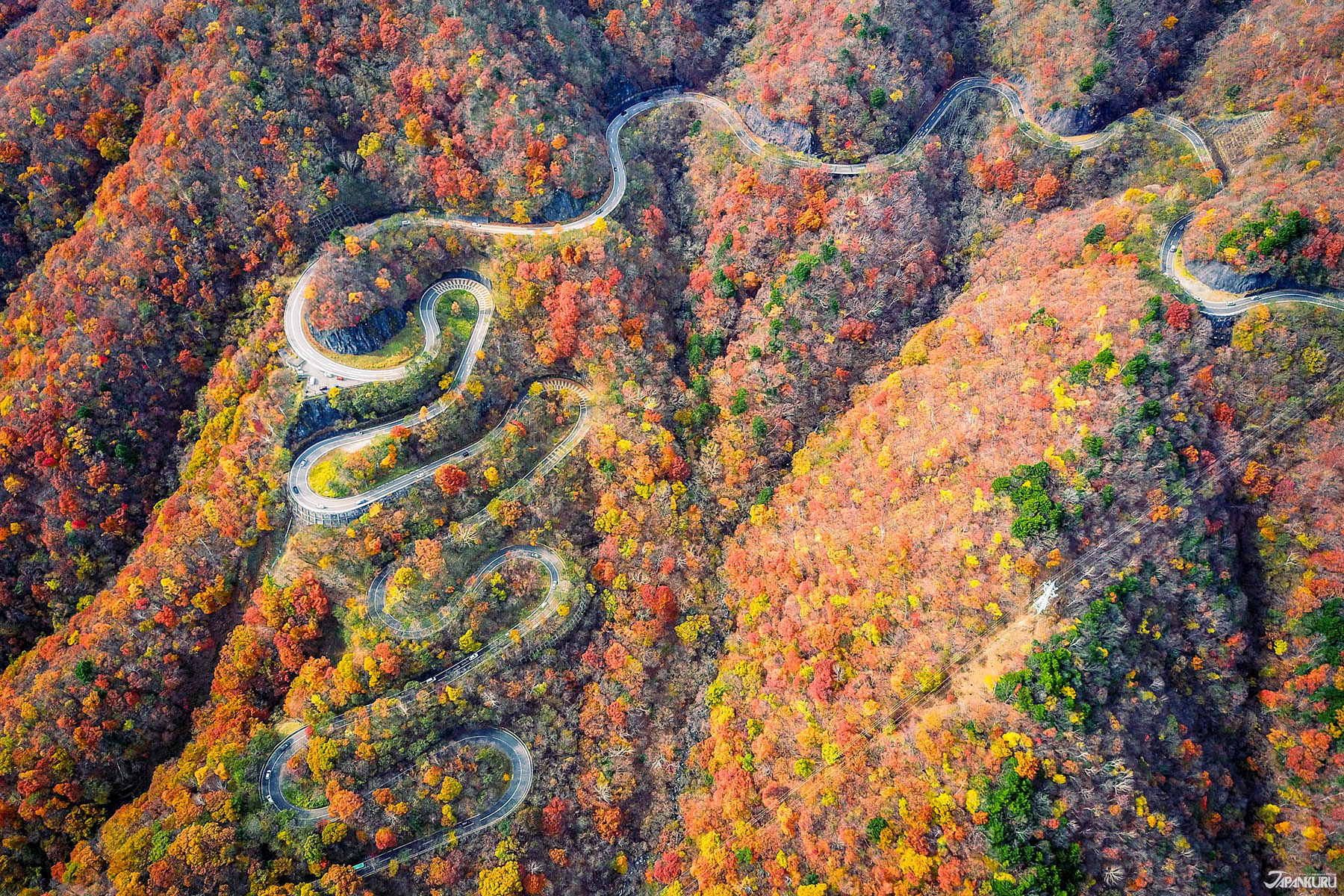
Tochigi Prefecture's capital is Utsunomiya, known for famous gyoza, and just an hour from Tokyo. The prefecture is full of nature-related sightseeing opportunities year-round, from the blooming of spring flowers to color fall foliage. Tochigi also has plenty of extremely well-known sightseeing destinations, like World Heritage Site Nikko Toshogu Shrine, Lake Chuzenji, and Ashikaga Flower Park―famous for expansive wisteria trellises. In recent years the mountain resort town of Nasu has also become a popular excursion, thanks in part to the local imperial villa. Tochigi is a beautiful place to enjoy the world around you.
-
TOKYO
VIEW MORE
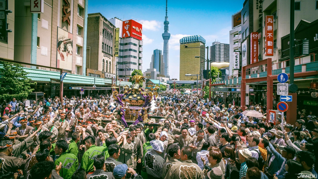
Tokyo (東京) is Japan's busy capital, and the most populous metropolitan area in the world. While the city as a whole is quite modern, crowded with skyscrapers and bustling crowds, Tokyo also holds onto its traditional side in places like the Imperial Palace and Asakusa neighborhood. It's one of the world's top cities when it comes to culture, the arts, fashion, games, high-tech industries, transportation, and more.
-
-
-
CHUBU
VIEW MORE
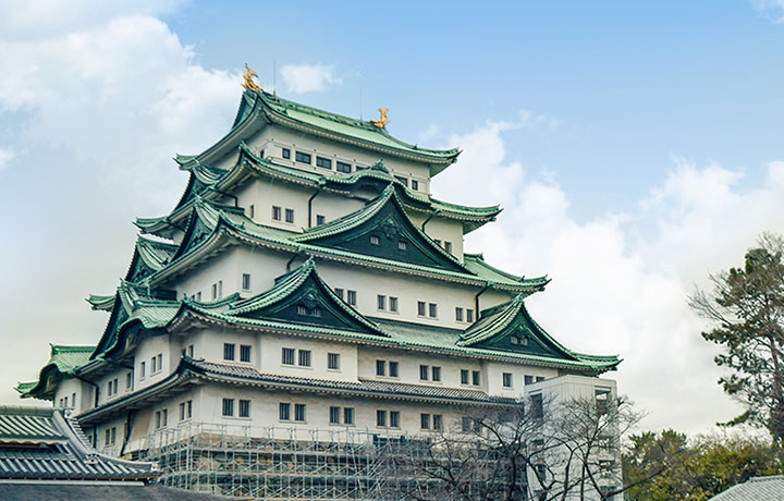
The Chubu Region (中部地方) is located right in the center of Japan's main island, and consists of 9 prefectures: Aichi, Fukui, Gifu, Ishikawa, Nagano, Niigata, Shizuoka, Toyama, and Yamanashi. It's primarily famous for its mountains, as the region contains both Mt. Fuji and the Japanese Alps. The ski resorts in Niigata and Nagano also draw visitors from around the world, making it a popular winter destination.
-
NAGANO
VIEW MORE
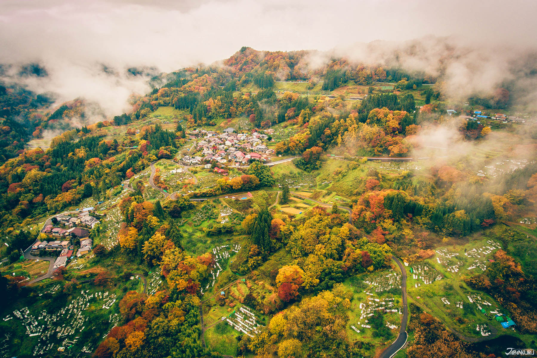
Nagano Prefecture's popularity starts with a wealth of historic treasures, like Matsumoto Castle, Zenkoji Temple, and Togakushi Shrine, but the highlight might just be the prefecture's natural vistas surrounded by the "Japanese Alps." Nagano's fruit is famous, and there are plenty of places to pick it fresh, and the area is full of hot springs, including Jigokudani Monkey Park―where monkeys take baths as well! Thanks to the construction of the Hokuriku shinkansen line, Nagano is easily reachable from the Tokyo area, adding it to plenty of travel itineraries. And after the 1998 Nagano Winter Olympics, ski resorts like Hakuba and Shiga Kogen are known around the world.
-
NAGOYA
VIEW MORE
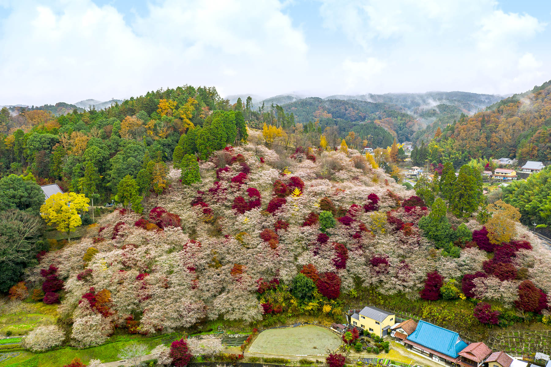
Aichi Prefecture sits in the center of the Japanese islands, and its capital city, Nagoya, is a center of politics, commerce, and culture. While Aichi is home to major industry, and is even the birthplace of Toyota cars, it's proximity to the sea and the mountains means it's also a place with beautiful natural scenery, like Saku Island, Koijigahama Beach, Mt. Horaiji. Often used a stage for major battles in Japanese history, Sengoku era commanders like Oda Nobunaga, Toyotomi Hideyoshi, and Tokugawa Ieyasu left their own footprints on Aichi, and historic buildings like Nagoya Castle, Inuyama Castle, and those in Meiji Mura are still around to tell the tale.
-
NIIGATA
VIEW MORE
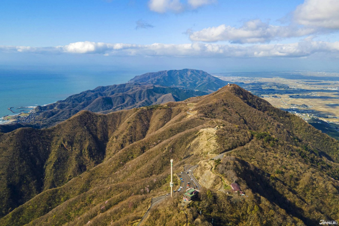
Niigata is a prefecture on Japan's main island of Honshu, situated right on the coast of the Sea of Japan, and abundant with the gifts of nature. It's known for popular ski resorts such as Echigo-Yuzawa, Japanese national parks, and natural hot spring baths, plus local products like fresh seafood, rice, and sake. Visitors often spend time in the prefectural capital, Niigata City, or venture across the water to Sado Island.
-
SHIZUOKA
VIEW MORE
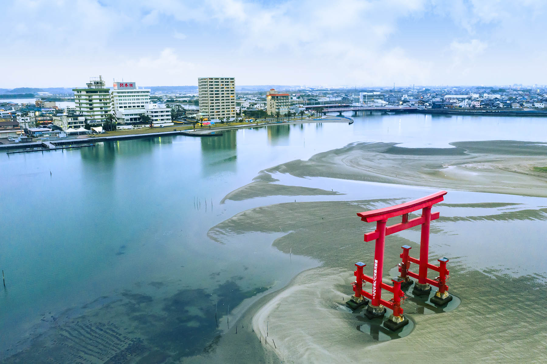
Shizuoka Prefecture is sandwiched between eastern and western Japan, giving the prefecture easy access to both Tokyo and Osaka. Not only is it known for beautiful natural attractions, with everything from Mount Fuji to Suruga Bay, Lake Hamanako, and Sumata Pass―Shizuoka's Izu Peninsula is known as a go-to spot for hot springs lovers, with famous onsen like Atami, Ito, Shimoda, Shuzenji, and Dogashima. Shizuoka attracts all kinds of travelers thanks to historic connections with the Tokugawa clan, the Oigawa Railway, fresh eel cuisine, Hamamatsu gyoza, and famously high-quality green tea.
-
-
-
KANSAI
VIEW MORE
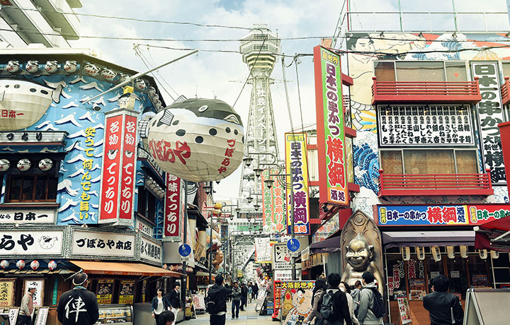
Kansai (関西) is a region that includes Mie, Nara, Wakayama, Kyoto, Osaka, Hyogo, and Shiga Prefectures. Kansai contained Japan's ancient capital for hundreds of years, and it's making a comeback as one of the most popular parts of Japan. Kyoto's temples and shrines, Osaka Castle, and the deer of Nara are all considered must-sees. Plus, the people of Kansai are especially friendly, making it a fun place to hang out.
-
KYOTO
VIEW MORE
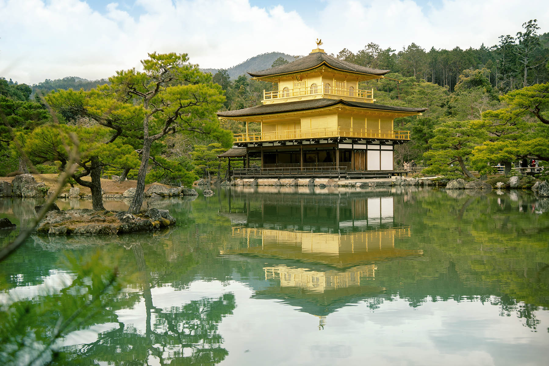
Kyoto flourished as the capital of Japan between the years 794 and 1100, becoming a center for poilitics and culture, and to this day it's a great place for close encounters with Japanese history. The cobbled streets of Gion, the atmospheric road to Kiyomizudera Temple, Kinkakuji's golden walls and countless historic attractions, even Arashiyama's Togetsukyo Bridge―Kyoto is a place of many attractions. With new charms to experience throughout the seasons, travelers can't stop themselves from returning again and again.
-
NARA
VIEW MORE
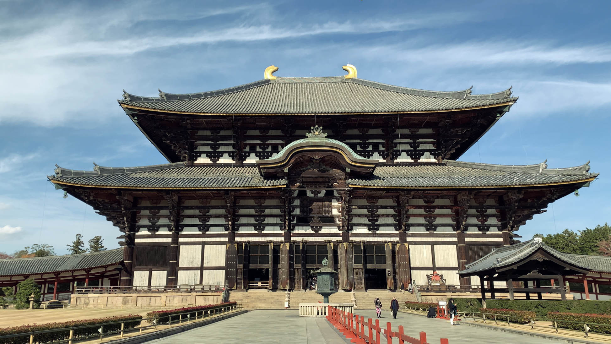
Nara Prefecture's important history reaches back to 710, a time now called the Nara era, when it was once capital of Japan. Called "Heijo-kyo" during its time as a capital, it's said that nara was once the end of the silk road, leading it to flourish as a uniquely international region and produce important cultural properties of all kinds. To make the most of each season, travelers head to Nara Park, where the Nara deer who wander freely, or climb Mount Yoshino, a famous cherry blossom spot.
-
OSAKA
VIEW MORE
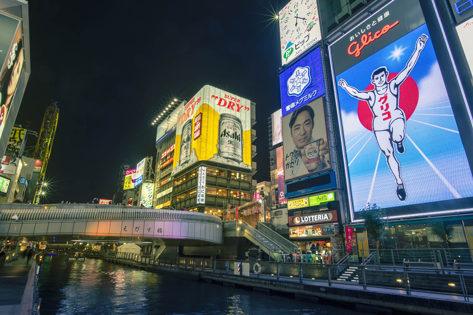
Osaka is known for friendly (and funny) people, but its history is nothing to laugh at, playing a major part in Toyotomi Hideyoshi's 16th century unification of Japan. Thanks to long years of economic activity, it's one of Japan's biggest cities, and Osaka's popular food culture earned it the nickname "The Kitchen of the Nation." To this day Osaka is the model of western Japan, and alongside historic structures like Osaka Castle, it also has major shopping malls like Umeda's Grand Front Osaka and Tennoji's Abeno Harukas. Osaka is a place to eat, eat, eat, with local specialties like takoyaki, okonomiyaki, and kushi-katsu, and for extra fun, it's home to Universal Studios Japan.
-
-
-
CHUGOKU
VIEW MORE
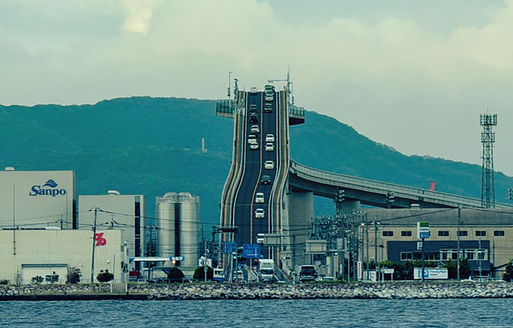
The Chugoku Region (中国地方) consists of five prefectures: Hiroshima, Okayama, Shimane, Tottori, and Yamaguchi. In Chugoku you’ll find the sand dunes of Tottori, and Hiroshima’s atomic bomb site, plus centers of ancient history like Grand Shrine of Izumo.
-
HIROSHIMA
VIEW MORE
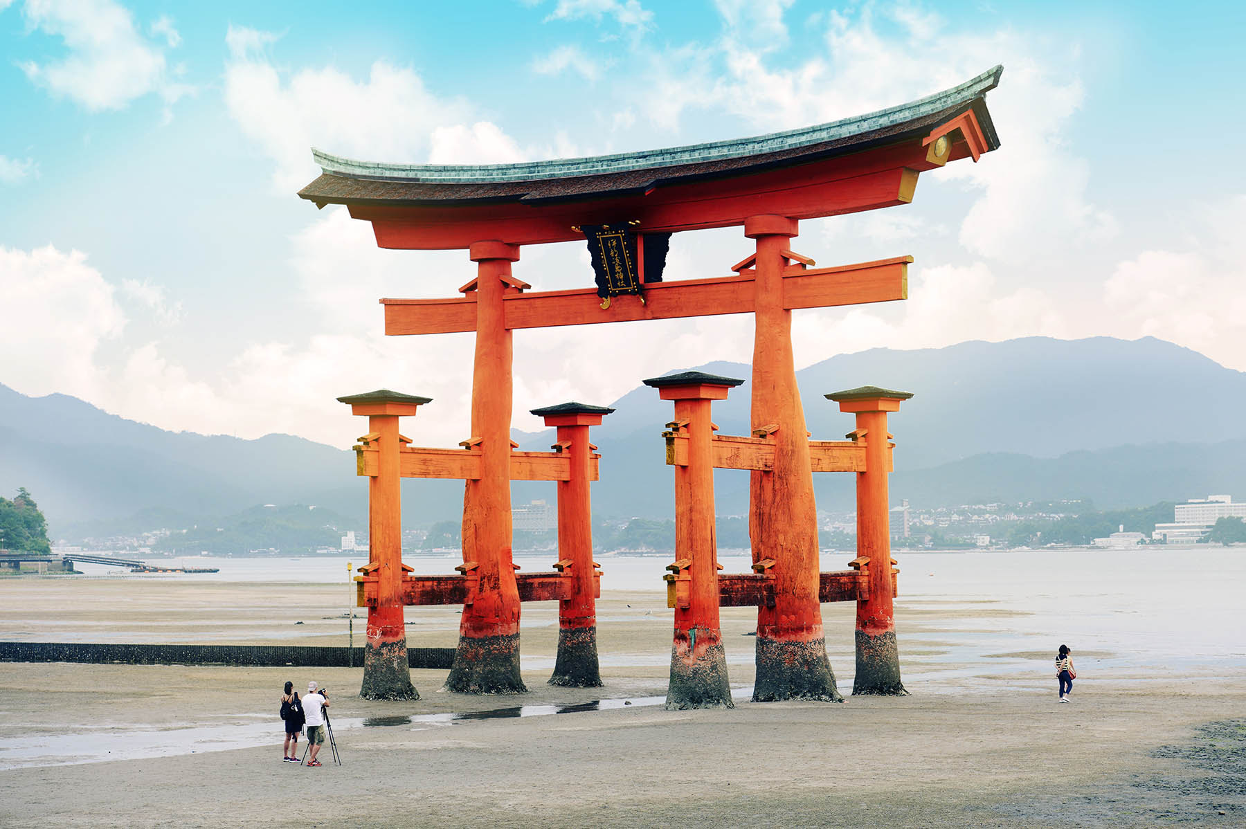
Hiroshima Prefecture has everything, from world heritage sites to beautiful nature and delicious local cuisine, and it's either an hour and a half from Tokyo by plane, or four hours by train. Itsukushima Shrine on Miyajima Island and the Atomic Bomb Dome, two Hiroshima UNESCO sites, are famous around the world, but in Japan it's also famous for food. Seafood from the Seto Inland Sea, especially oysters, Hiroshima-style okonomiyaki, and Setouchi lemons are all popular, and the natural scenery alone is worth seeing.
-
-
-
SHIKOKU
VIEW MORE
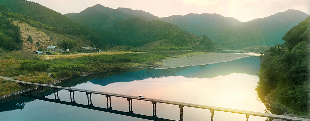
On the other side of the Seto Inland Sea opposite Japan’s main island, Shikoku (四国) is a region made up of four prefectures: Ehime, Kagawa, Kochi, and Tokushima. The area is famous for its udon (in Kagawa), and the beautiful Dogo Onsen hot springs (in Ehime).
-
KAGAWA
VIEW MORE
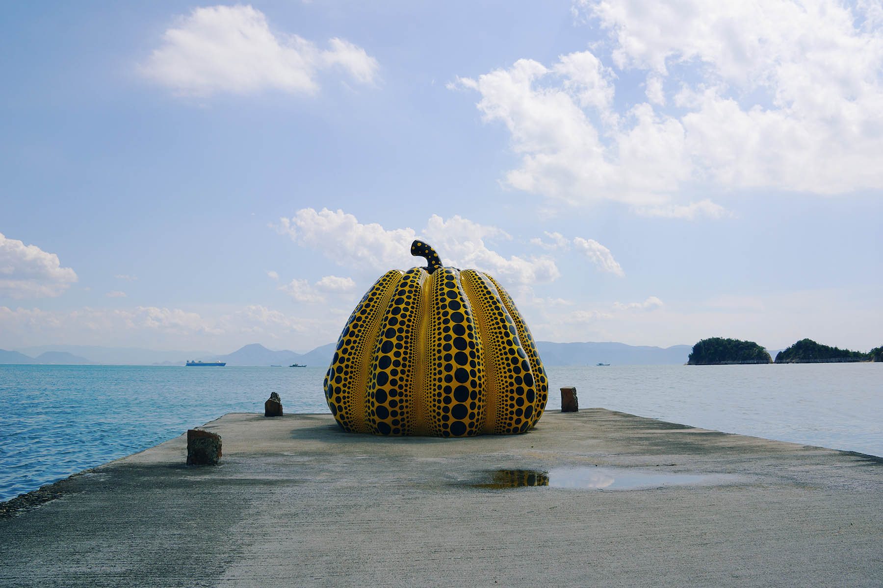
Kagawa Prefecture is on the northern part of the island of Shikoku, facing Japan's main island and the Seto Inland Sea. It's known for being the smallest prefecture in Japan, by area, but at the same time Kagawa is called the "Udon Prefecture" thanks to its famous sanuki udon. Aside from Kotohiragu Shrine and Ritsurin Garden, the prefecture's small islands are popular, and Kagawa is full of unique destinations, like Angel Road. They say that if you lay eyes on Zenigata Sunae, a huge Kagawa sand painting, you'll never have money troubles ever again.
-
-
-
KYUSHU
VIEW MORE
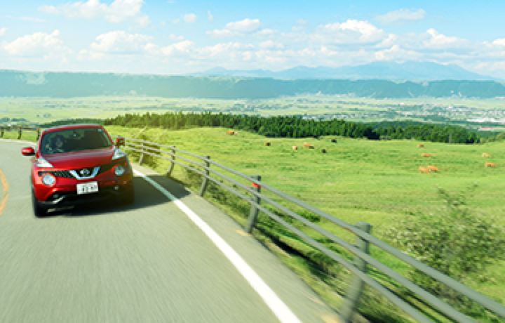
Located in the most southwestern part of Japan, Kyushu (九州) is an island of 7 prefectures: Fukuoka, Saga, Nagasaki, Kumamoto, Oita, Miyazaki, and Kagoshima. The island's unique culture has been influenced by Chinese and Dutch trade, along with missionaries coming in through Nagasaki's port. Modern-day travelers love the lush natural scenery and fresh food, plus the natural hot springs found all throughout the area (thanks to volcanic activity)!
-
FUKUOKA
VIEW MORE
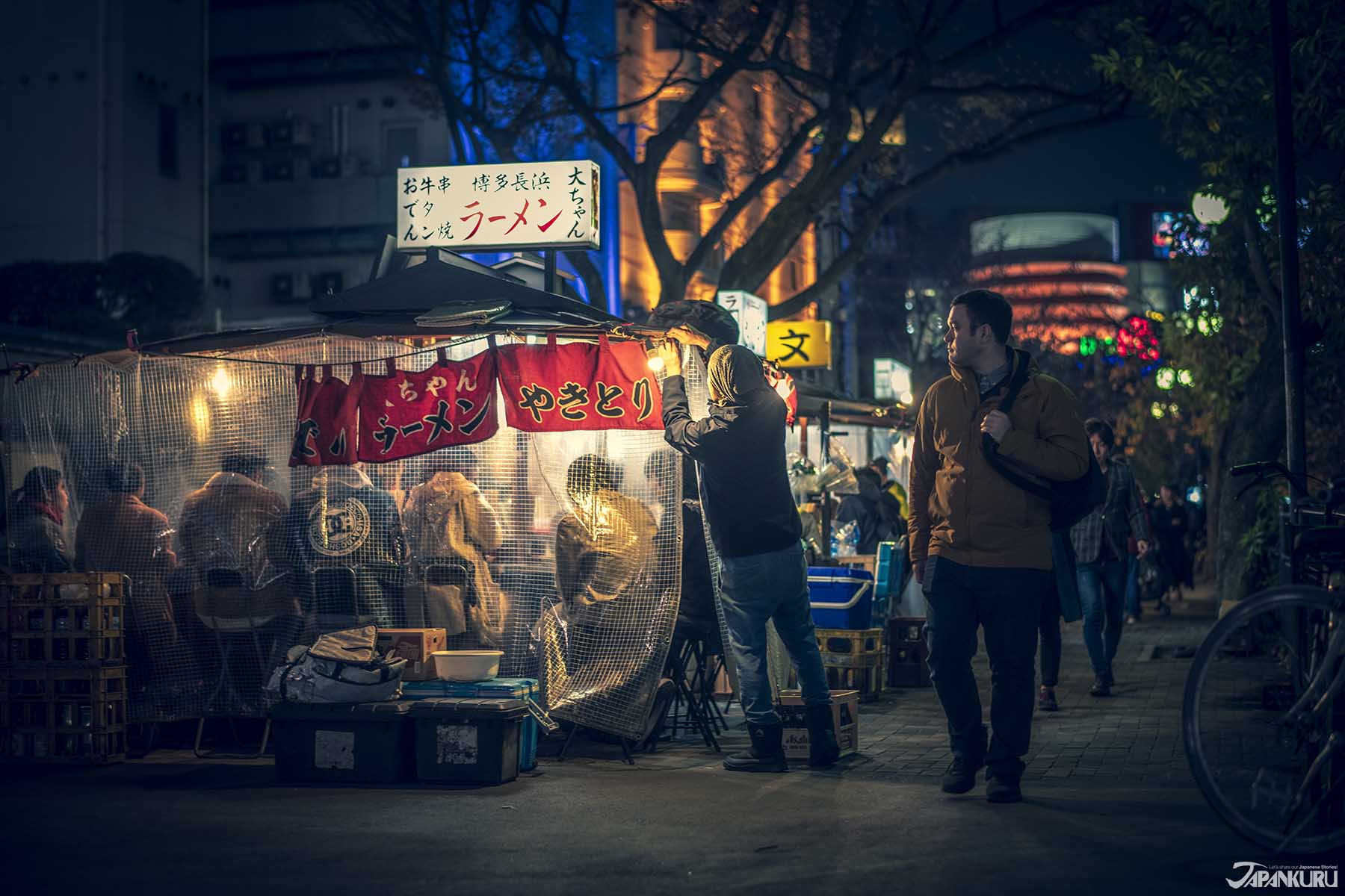
Fukuoka Prefecture has the highest population on the southern island of Kyushu, with two major cities: Fukuoka and Kitakyushu. Thanks to growing transportation networks, Fukuoka is more accessible than ever, and so are the many local attractions. On top of historical spots like Dazaifu Tenmangu Shrine, travelers shouldn't miss Fukuoka's food scene, with motsu nabe (offal hotpot), mentaiko (spicy cod roe), and famous Hakata ramen―best eaten from a food stall in the Nakasu area of Hakata. Plus, it's full of all sorts of destinations for travelers, like trendy shopping centers, and the beautiful nature of Itoshima and Yanagawa.
-
KAGOSHIMA
VIEW MORE
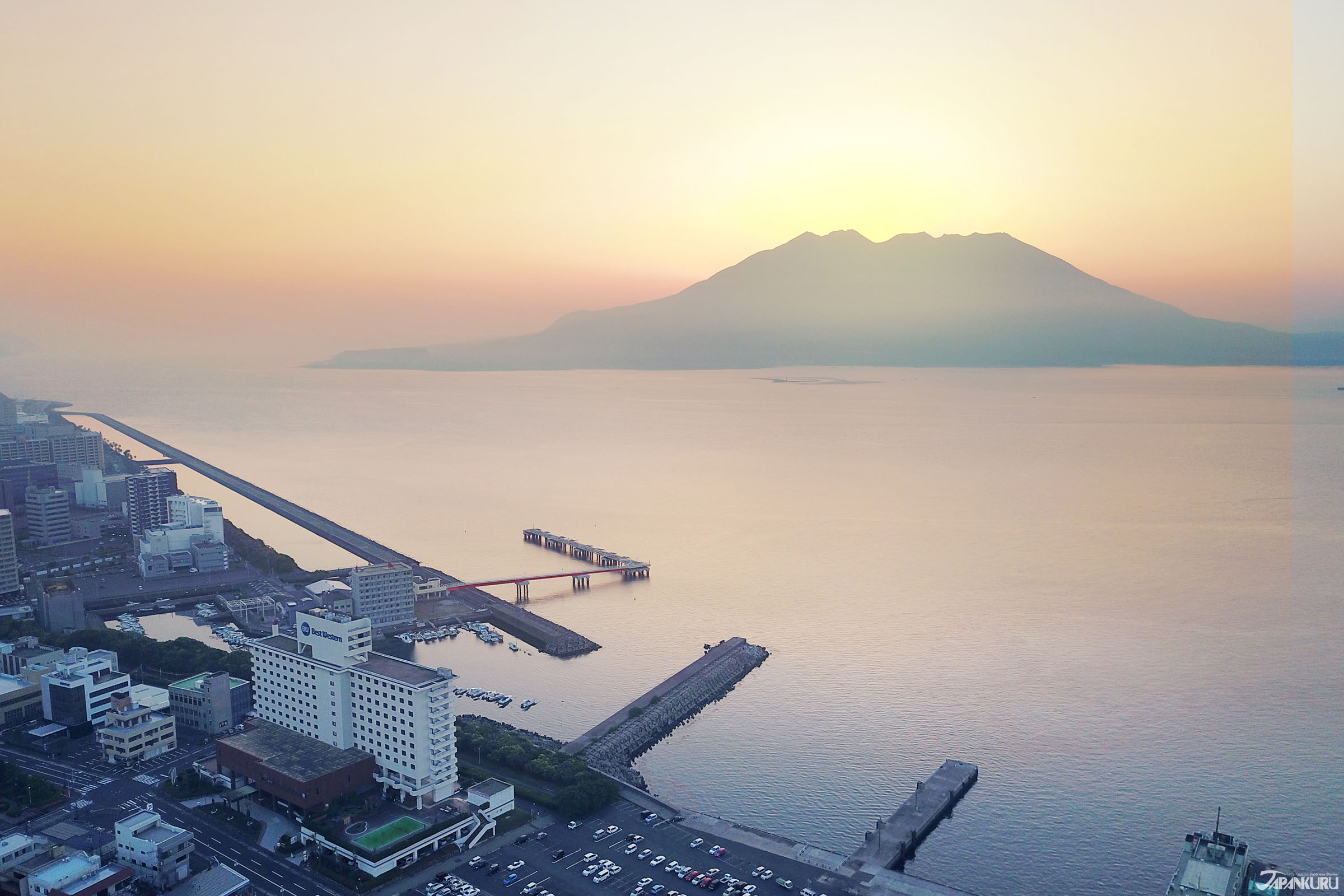
Kagoshima Prefecture played a major role in Japan's modernization as a backdrop for famous historical figures like samurais Saigo Takamori and Okubo Toshimichi, who pushed Japan out of the Edo era and into the Meiji. Because of that, Sengan-en Garden is just one of many historical destinations, and when it comes to attractions Kagoshima has plenty: the active volcano of Sakurajima, popular hot springs Ibusuki Onsen and Kirishima Onsen, World Heritage Site Yakushima Island, even what Japan calls the "island closest to heaven," Amami Oshima. Kagoshima might be found on the very southernmost tip of the southern island of Kyushu, but there's plenty to see.
-
-
-
OKINAWA
VIEW MORE
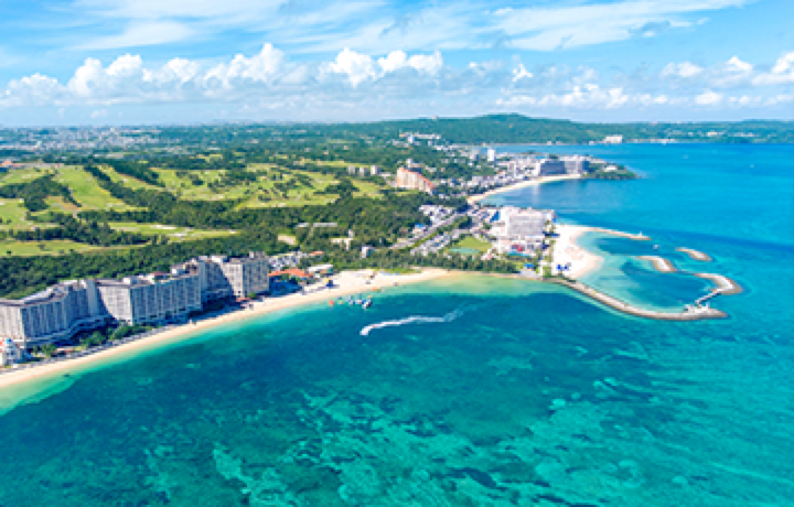
The island chain of Okinawa (沖縄) makes up the southernmost tip of Japan, which is why it's also the most tropical area in the country. Thanks to a history of independence and totally distinct political and cultural events, Okinawa has a unique culture, and remnants of the Ryukyu Kingdom are still visible all over the islands. Food, language, traditional dress, it's all a little different! It's also said to be the birthplace of karate.
-
LATEST
VIEW MORE